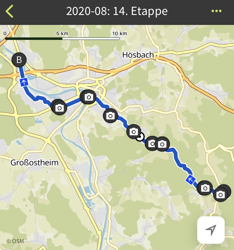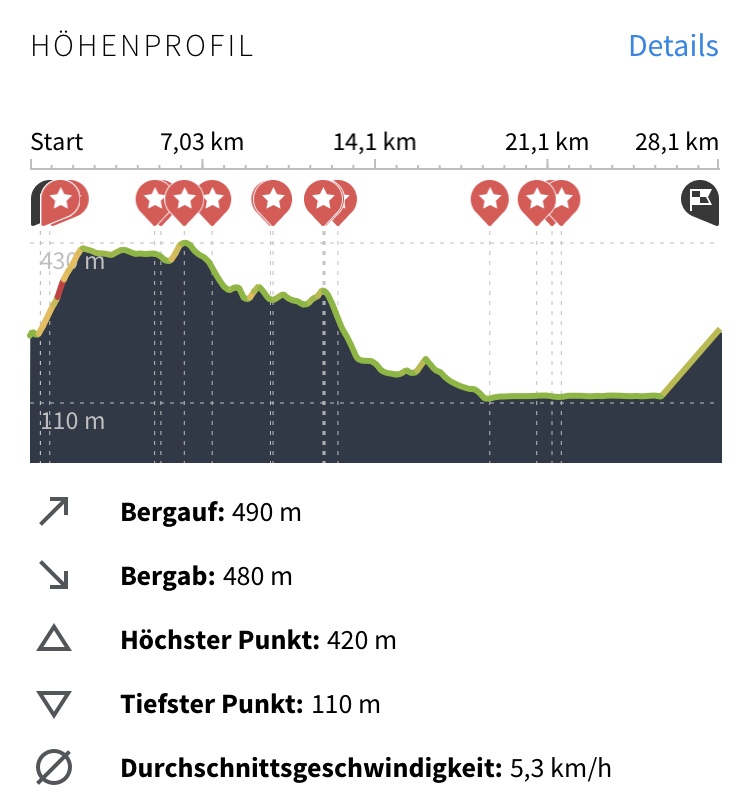
I started in that beautiful Spessart-village of Heimbuchenthal and I had to climb up pretty fast to about 400 m of altitude. Then the walk took me step-by-step down until I left the Spessart and reached the Main Valley.
This part of the foresty middle mountains (“Mittelgebirge”) seemed much more populated than what I experienced the day before. Very often I met other hiking or mountain-biking people.
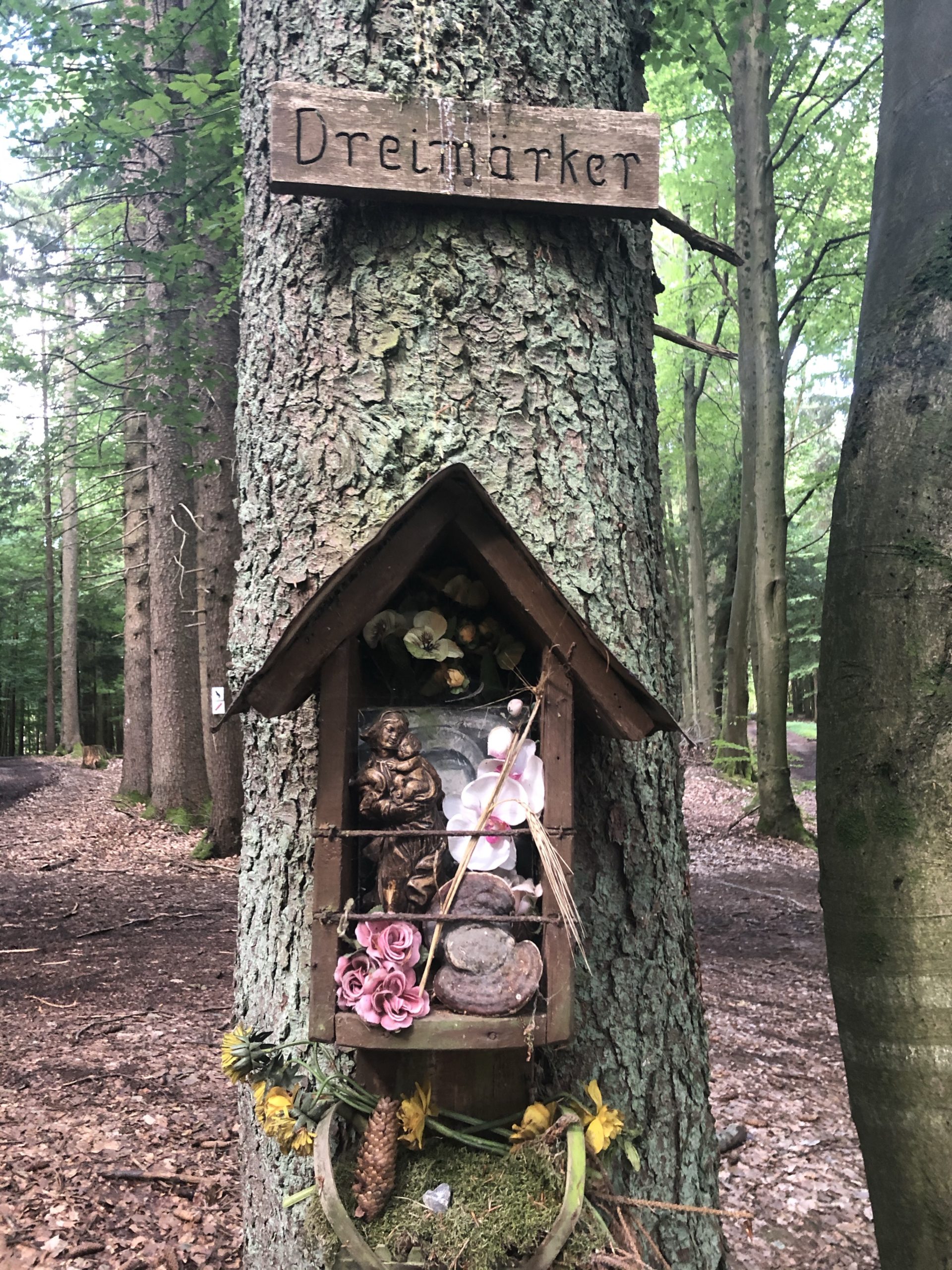
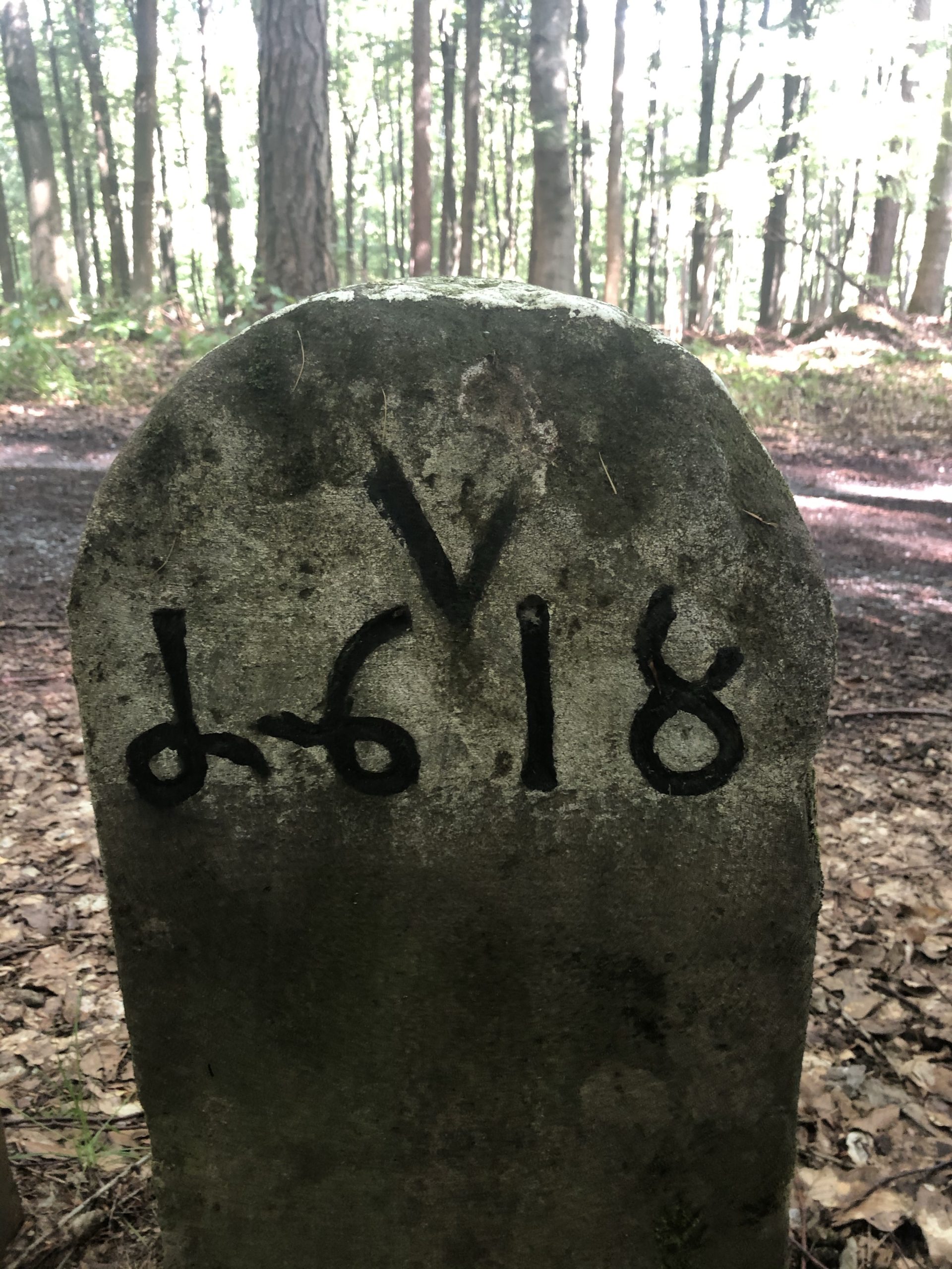
It was interesting to follow marker stones that identified old borders and some of them dated as far back as the 17th century. It feels good to be allowed to cross borders safely, easily and free of charge nowadays. At one point, I came to the Dreimärker, where three territories met.
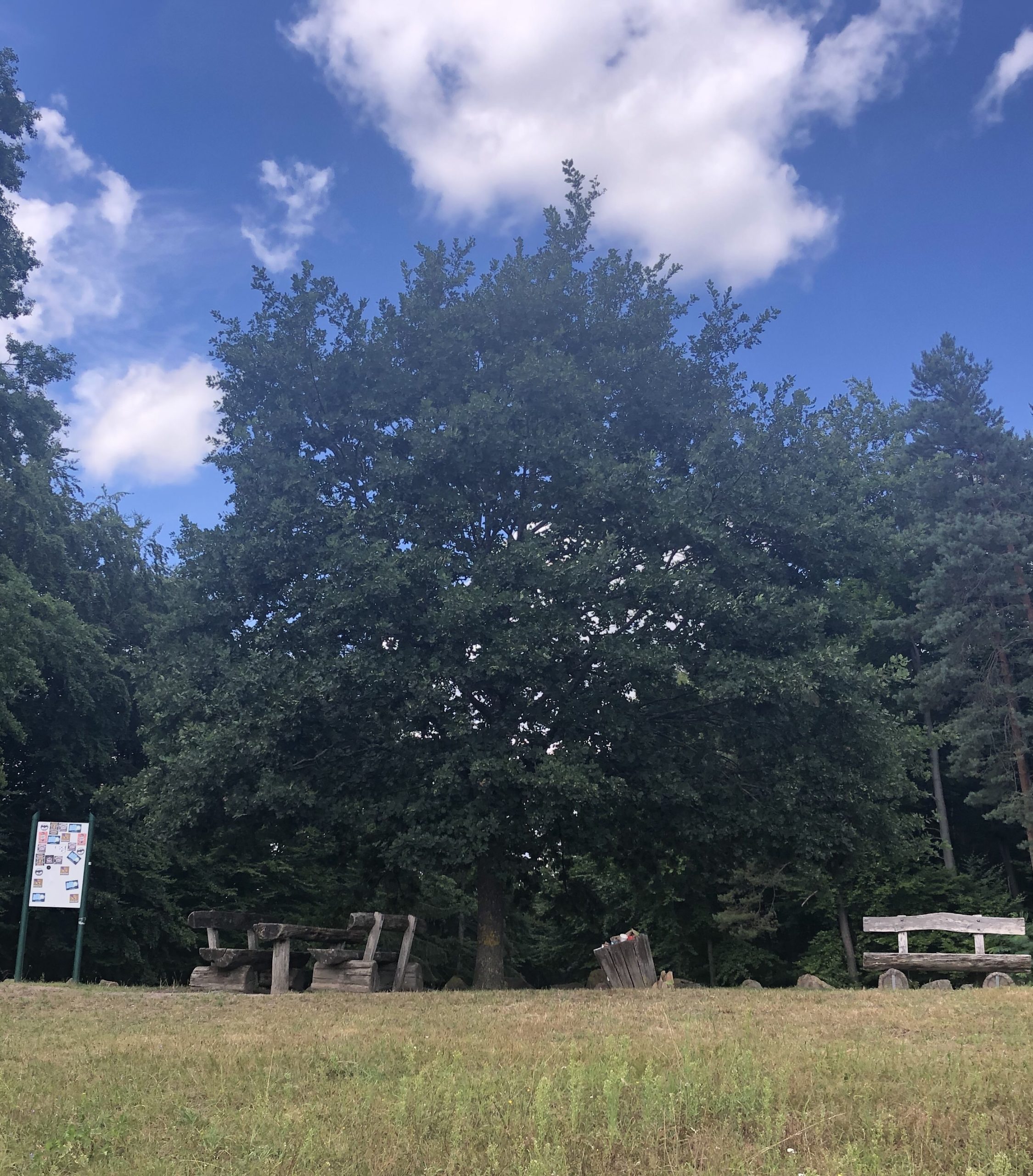
Further down on the way, I came to a saddle point, where my route crossed on the top of the saddle and to the left and to the right, there were both old paths down the hill towards towns down there. In the middle of that spot, there was an old oak tree (in German “Eiche”) which is called Frühstückseiche (Breakfast Oak) because apparently in the past lots of hikers would have they are breakfast in its shadow.
Stepping out of the forest was a shift of worlds into a very flat open landscape with apple trees. I followed mostly on small paths into the city off Aschaffenburg and crossed the Main there.
My highlights of the day were:
- Frühstückseiche as a marker that has helped hikers across centuries orient themselves.
- The sharp difference between the Spessart forest and the flat open land to the northwest of it.
- The walk along Schönbusch Allee and through Schönbusch
Statistics:
- 28.1 kilometers
- 5:18 hours
- 490 meters uphill and 480 meters downhill